1. Are There Really Seven Continents?
The seven continents you learned at school, Asia, Africa, North America, South America, Antarctica, Europe, and Australia, are not wrong. But they are not boundaries drawn by nature; they are a classification people agreed on. The National Geographic Society’s map policy states that its maps recognize seven continents, Africa, Antarctica, Asia, Australia, Europe, North America, and South America, and that Oceania is considered a region associated with Australia rather than a continent. The key word is policy: a standard set by the institution that makes the maps.
The same organization’s educational resource explains that a continent is one of Earth’s seven main divisions of land, defined by continental shelves, and then adds that Europe and Asia actually form a single, enormous piece of land called Eurasia, which most geographers continue to divide into Europe and Asia for cultural reasons. The border between Europe and Asia is a product of history and culture, not geology. That is also why some educational traditions count Eurasia as one continent or the Americas as one, teaching six or five continents. The number of continents is less a question of which answer is correct than of which standard is being used.
2. The Ocean Is One: How the Southern Ocean Became the Fifth
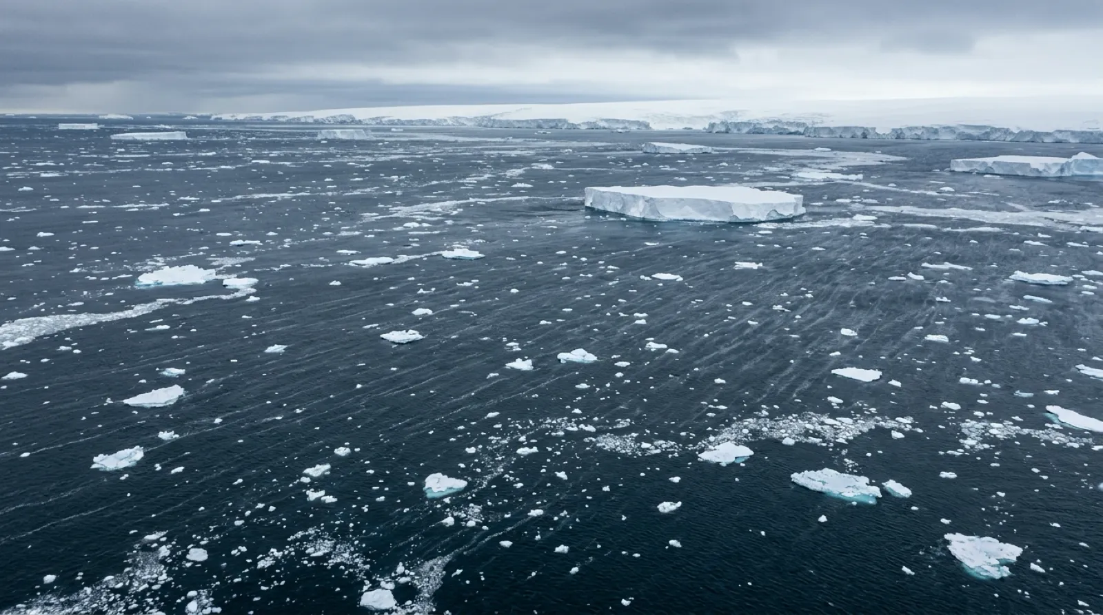
The U.S. National Oceanic and Atmospheric Administration (NOAA) puts it simply: “There is only one global ocean.” People divide this single body of water, which covers 71 percent of Earth’s surface, into named geographic regions. Historically four oceans were named, the Atlantic, Pacific, Indian, and Arctic, and according to NOAA most countries, including the United States, now recognize the Southern Ocean as the fifth ocean. The U.S. Board on Geographic Names defines it as extending from the coast of Antarctica to the line of latitude at 60 degrees South.
Internationally, however, the matter is not settled. NOAA explains that boundaries for the Southern Ocean were proposed to the International Hydrographic Organization (IHO) in 2000, but not all countries agree on them, so the proposal has yet to be ratified by IHO members. According to National Geographic’s reporting, the IHO recognized the Southern Ocean in 1937 but repealed that designation in 1953 amid controversy; the U.S. Board on Geographic Names adopted the name in 1999; and the National Geographic Society officially recognized the Southern Ocean as the fifth ocean on 8 June 2021, World Oceans Day. The Society’s geographer, Alex Tait, said the decision followed the growing use of the term “Southern Ocean” by scientists and the press. The ocean’s northern boundary at 60 degrees south corresponds to the center of the Antarctic Circumpolar Current, which flows from west to east around Antarctica and carries more water than any other current on Earth. The Society’s map policy sums up the situation: there is international agreement that the cold waters around Antarctica form a fifth region, but there is no consensus on its name or its extent.
3. Why Maps Make Greenland Look Huge
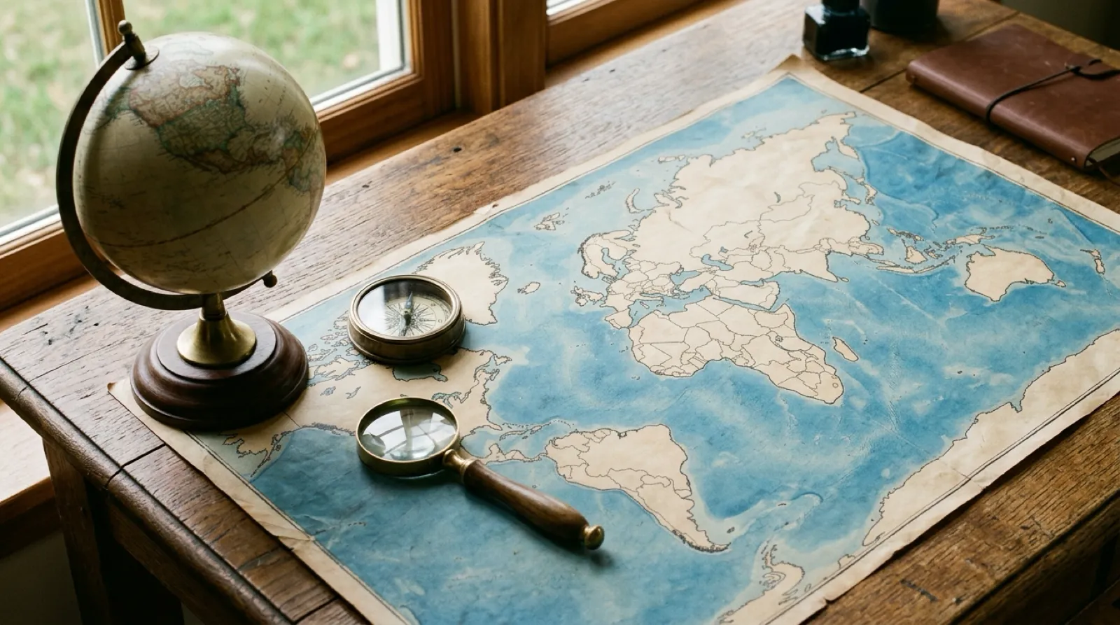
If Greenland looks about the size of Africa on the world map on your wall, that map is most likely using the Mercator projection. The U.S. Geological Survey (USGS) explains that Mercator is “the only map on which a straight line drawn anywhere within its bounds shows a true direction,” which makes it useful for navigation, but that near the polar regions distances and areas are “grossly distorted.” Africa is in reality far larger than Greenland, but on a Mercator map, which inflates land as latitude increases, that difference appears to vanish.
That does not make other projections perfect. USGS states that “No flat map can rival a globe in truly representing the surface of the entire Earth,” and that on equal-area maps, which preserve area, “Shapes are more or less distorted.” Its conclusion is that “there is no ‘best’ projection.” Every map sacrifices something, depending on whether it is made for navigation, area comparison, or direction. The question to ask of a world map is not whether it is correct, but what it preserves and what it gives up.
4. Seasons Come From Tilt, Not Distance
The idea that summer is hot because Earth moves closer to the Sun is widespread, but it is not true. An educational resource from NESDIS, part of NOAA, calls the idea “incorrect,” pointing out that aphelion, when Earth is farthest from the Sun, falls in July and perihelion, when it is closest, falls in January — the opposite of the Northern Hemisphere’s seasons. What creates the seasons is the tilt of Earth’s axis. NASA explains that Earth’s axis of rotation is tilted 23.4 degrees with respect to the plane of its orbit, and that “This tilt causes our yearly cycle of seasons.” For part of the year the Northern Hemisphere is tilted toward the Sun, so the Sun rides high in the sky and it is summer in the north and winter in the south; “Six months later, the situation is reversed.”
Still, “cross the Equator and summer becomes winter” describes the middle and high latitudes well, but it is not a universal rule. In the low-latitude tropics, the year is often divided by changes in rainfall rather than temperature, and people there speak of the seasons as “rainy and dry.” Latitude strongly influences climate, but altitude, ocean currents, distance from the sea, and atmospheric circulation all act together, so climates at the same latitude can differ greatly. When planning a trip, it is safer to check monthly climate data for your destination than to reason that it must be winter because it is the Southern Hemisphere.
5. An Hour Every 15 Degrees? The Reality of Legal Time Zones
According to NASA, Earth completes one rotation every 23.9 hours and one trip around the Sun in 365.25 days. Because it turns 360 degrees in roughly 24 hours, 15 degrees of longitude works out to one hour, a useful approximation for understanding mean solar time. But the time on our clocks is set by law, not astronomy, and the records of the internationally used time zone database (IANA tz database) make that strikingly clear.
Nepal used UTC+5:30, the same as India, from 1920, then switched to UTC+5:45 in 1986, becoming a country whose time zone is set in 15-minute units. India uses UTC+5:30. China spans several geographic time zones but has used only Beijing time, UTC+8, as its official time since 28 May 1949; the database’s notes remark, “Yes, they really have only one time zone,” and record that in western Xinjiang an unofficial “Xinjiang time,” two hours behind, has been used alongside it since at least the Cultural Revolution. Korea is no exception. Seoul’s standard time started at UTC+8:30 in 1908, moved to +9:00 in 1912, returned to +8:30 in 1954, and has been +9:00 since 10 August 1961. Zone boundaries wind along political and administrative lines, offsets of 30 and 45 minutes exist, and daylight-saving rules change from country to country. For flights and meetings, use the current legal UTC offset, not the 15-degree rule.

6. UTC and GMT Are Not the Same Thing
The clock readings are usually identical, but the definitions differ. According to the U.S. National Institute of Standards and Technology (NIST), International Atomic Time (TAI) is computed by taking the weighted average of more than 300 atomic clocks at over 60 timing laboratories worldwide, and Coordinated Universal Time (UTC) “is based on TAI, but it is adjusted by leap seconds to account for the difference between the definition of the second and the rotation of Earth,” so that it always stays within one second of UT1, the time scale that follows Earth’s actual rotation. UTC, in other words, is atomic-clock time nudged to keep step with the turning planet.
Greenwich Mean Time, NIST explains, “originally referred to the mean solar time at the Royal Observatory in Greenwich, England.” Today GMT more commonly denotes the time zone at the prime meridian, a local representation of UTC. So the statement that UTC is “based on the Prime Meridian in London” is only half right. The reference longitude is the same, but UTC is defined by atomic clocks and leap-second rules, not by astronomical observation.
7. The Date Line Is a Convenience, Not a Law
The International Date Line running through the middle of the Pacific is not fixed by any treaty. The U.S. Naval Observatory explains that it “has been recognized as a matter of convenience and has no force in international law,” and that “there have always been zigs and zags in it to allow for local circumstances.” The Philippines moved to the west side of the line in 1845, Alaska was adjusted when it passed to the United States in 1867, and Kiribati repositioned the line in 1995 so that the entire nation would be on the same side. The line bends for political reasons, not geographic ones.
Direction matters too. The USNO notes that without the Date Line, travelers going westward would find on returning home that one day more had passed than they thought, while travelers going eastward would find that one day fewer had passed than they thought. That is why crossing the line westward adds a calendar day and crossing eastward subtracts one. We explore this in more detail in our separate article, “Why Does the Date Line Zigzag?”
8. Three Principles for Relearning Geography
First, remember the standard, not the number. Whether there are seven continents or six, four oceans or five, depends on whose policy you follow. Someone who gives a different number is not wrong; they may have learned a different convention.
Second, distinguish maps from globes. Every flat map distorts something. Use an equal-area projection to compare sizes and Mercator to read directions, knowing the price each one pays.
Third, check time by law, not by astronomy. The 15-degree rule and the rule of thumb that Southern Hemisphere seasons are reversed are starting points only; for real plans, check the destination’s current legal time zone and its monthly climate data. Geographic literacy is not a set of memorized answers but an understanding of which standards were chosen and why.