The short answer: a stationary front forms between the southern and northern air masses at the same time
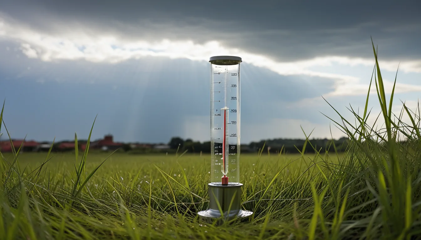
Changma is rain caused by a stationary front that forms between an air mass to the south and an air mass to the north. The Korea Meteorological Administration puts it this way in the changma section of its Open MET Data Portal: "Changma is rain that falls continuously and heavily in Korea from late June to late July; in meteorological terms it refers to cases in which rain falls under the influence of the changma front." Changma is therefore defined by a front, not by dates on a calendar. So following the conditions that create the front is arguably the closest we can get to an answer.
Pusan National University's Climate and Atmospheric Dynamics Laboratory describes changma as Korea's main rainy period. The same material places changma within the East Asian monsoon system. That is why the single phenomenon goes by three names: changma in Korea, meiyu in China and baiu in Japan. A 2022 paper in Weather and Climate Dynamics likewise notes that the meiyu stage corresponds to changma in Korea and baiu in Japan. The paper describes how a quasi-stationary rain band stretching from central and eastern China to Japan takes shape during this period.
Tropical air meets polar air: the explanation from Pusan National University's Climate and Atmospheric Dynamics Laboratory
Pusan National University's Climate and Atmospheric Dynamics Laboratory describes the summer setup over East Asia as follows. To the south sits a warm, humid tropical air mass. To the north sits a cold, humid polar air mass. Where the two meet, a stationary front forms. That front then affects East Asia, Korea included.
The same material also explains the timing of the onset. First, in late June, the upper-level jet stream shifts north toward Korea. The North Pacific high then begins to develop in earnest. As a result, low-level southwesterlies carry in a larger supply of humid air. When these conditions overlap, the explanation goes, changma begins.
The route the moisture takes lines up with descriptions in international journals. A study published in Scientific Reports reports that humid air over eastern Eurasia is transported to higher latitudes. In the process, the study finds, the meiyu-baiu front forms over East Asia in late June and early July. The front is built by the convergence of two moist low-level jets. One comes from the low-level cyclonic flow of the Asian monsoon. The other comes from the anticyclonic flow along the edge of the western North Pacific subtropical high (WNPSH).
The Korean Meteorological Society's new academic definition and the exclusion of the Okhotsk high
The Korean Meteorological Society has adopted a new academic definition of changma. MBC News reports that it emerged from more than two years of discussion led by the KMA-designated research center specializing in changma. Under the new definition, the changma period is the time when the summer North Pacific high expands and moves north. During that window, conditions favorable to heavy rainfall form between the warm, humid air mass to the south and the cold air mass to the north. The boundary between the two air masses can still be seen as the axis of the definition.
What changed is also clear. The Okhotsk high, which was central to the old definition, has been dropped from the new one. The same report gives the reason: its very existence is unclear. The new definition also counts days with little or no rain as part of the changma period. And the causes of rainfall now extend beyond the stationary front to mid-latitude cyclonic and convective precipitation.
Other research has examined the upper-level flow. The 2022 Weather and Climate Dynamics paper analyzed blocking highs over the middle and high latitudes of Eurasia. It identifies a double-blocking pattern over the Ural Mountains and the Sea of Okhotsk as the configuration most favorable to long, intense meiyu rainfall. The paper also finds that the subtropical westerly jet and the western North Pacific subtropical high regulate the front's strength and its northward march. The Scientific Reports study identified cyclonic circulation anomalies in the upper levels over the Korean Peninsula and its surroundings, which it attributes to the rapid intensification of an upper-level trough or a cold low.
The KMA Open MET Data Portal normals and the 200.5 mm of the 2025 changma season
The KMA discloses which stations go into its changma statistics. Sixty-two stations are used for the national and regional averages. Four stations on Jeju Island are used only for the Jeju figures. Anyone can check these criteria and numbers directly on the KMA's Open MET Data Portal.
The normals differ by region. In central Korea the season starts on 25 June and ends on 26 July, a span of 31.5 days. That region averages 17.7 rain days and 378.3 mm of rain. In the Jeju region the season starts on 19 June and ends on 20 July, a span of 32.4 days, with 17.5 rain days and 348.7 mm of rain.
2025 broke from the pattern. The KMA concluded that the rapid expansion of the North Pacific high made the rains start early and end early. The season began on 12 June on Jeju Island and on 19 June in both central and southern Korea, which was 7, 6 and 4 days earlier than normal respectively. Nationwide rainfall came to 200.5 mm, or 55.0% of the normal (as reported by the KMA), and there were 8.8 rain days, about half the normal 17.3. The season ended on 26 June on Jeju Island and on 1 July in southern Korea, making those spans 15 and 13 days, the second shortest on record. The KMA also reported that a stationary front brought heavy rain to the Seoul metropolitan area, inland Gangwon and the south coast from 9 to 14 August 2025.
Japan's confirmed dates since 1951 compared with China's national standard GB/T 33671-2017
The Japan Meteorological Agency describes tsuyu (梅雨) as a seasonal phenomenon: the stretch in the transition from spring to summer when rainfall is heavier and sunshine scarcer than in the periods before and after. The agency provides confirmed onset and withdrawal dates for tsuyu going back to 1951. It also notes that the onset and withdrawal each involve a "transition" period of about five days on average. The normals are 30-year averages for 1991-2020, and years in which the timing could not be pinned down are excluded. Separately from its preliminary, forecast-based announcements, the JMA fixes the dates after the season by reviewing how the weather actually unfolded.
Laying the three countries' criteria side by side brings the differences into view. The names are changma in Korea, baiu in Japan and meiyu in China. The reference documents are the normals on the KMA's Open MET Data Portal, the JMA's 1991-2020 normals, and China's national standard GB/T 33671-2017. The Chinese standard divides the meiyu area into three regions: Jiangnan, the middle and lower reaches of the Yangtze, and Jianghuai. The standard falls under the National Technical Committee on Climate and Climate Change Standardization (TC540), with the China Meteorological Administration as the supervising ministry. The main institutions behind the standard include the National Climate Center, the Shanghai Climate Center and the Wuhan Regional Climate Center.
China Meteorological News Press reports that a typical meiyu along the middle and lower Yangtze runs about 20 to 30 days and brings 200 to 400 mm of rain. The outlet also reported that the average onset date for 2015-2024 was 5.3 days earlier than the average for 2000-2014. Withdrawal came three days later, so the meiyu period grew by more than eight days on average and rainfall rose by 58.1%. The 2020 meiyu lasted 52 days and brought 753.9 mm of rain, the highest figure since 1961. The Scientific Reports study found that 22 years of satellite radar observations show heavy rainfall occurring more often. In that study, rainfall of 10 mm per hour or more increased by 24% between 1998-2008 and 2009-2019.
The takeaway
A shared structure explains why the rainy season reaches all three countries at roughly the same time. Tropical air from the south meets polar air from the north, and a stationary front forms. The KMA defines the rain that falls under the influence of this front as changma. Pusan National University's Climate and Atmospheric Dynamics Laboratory places changma within the East Asian monsoon system. The same front is called changma in Korea, meiyu in China and baiu in Japan.
Definitions and statistical criteria vary from agency to agency. The Korean Meteorological Society's new definition excludes the Okhotsk high and counts rainless days as part of the changma period. The primary documents can be read directly on the KMA's Open MET Data Portal, the JMA's tsuyu data pages, and the National Public Service Platform for Standards Information run by China's State Administration for Market Regulation. When comparing numbers, it is safer to note which agency's criteria each figure comes from.