At a glance
• Borders are not set by mountains or rivers on their own. A treaty defines the line, a survey puts it on the ground, and a permanent body maintains the monuments and the cleared vista. The Canada–US International Boundary Commission keeps an 8,891-kilometre boundary on 256 official maps with more than 8,000 monuments.
• A river makes a convenient boundary until it moves. The United States and Mexico solved that with an 1884 rule (a gradual shift moves the boundary; a sudden one leaves it in the old channel), the 1963 Chamizal Convention, and the 1970 Boundary Treaty.
• A border need not be a line at all. Baarle, on the Belgian–Dutch border, has 22 enclaves cutting through houses; Korea’s Military Demarcation Line sits inside a four-kilometre demilitarized strip; and in Antarctica, Article IV of the 1959 treaty forbids any new territorial claim.
1. Borders Begin in Documents, Not in Nature
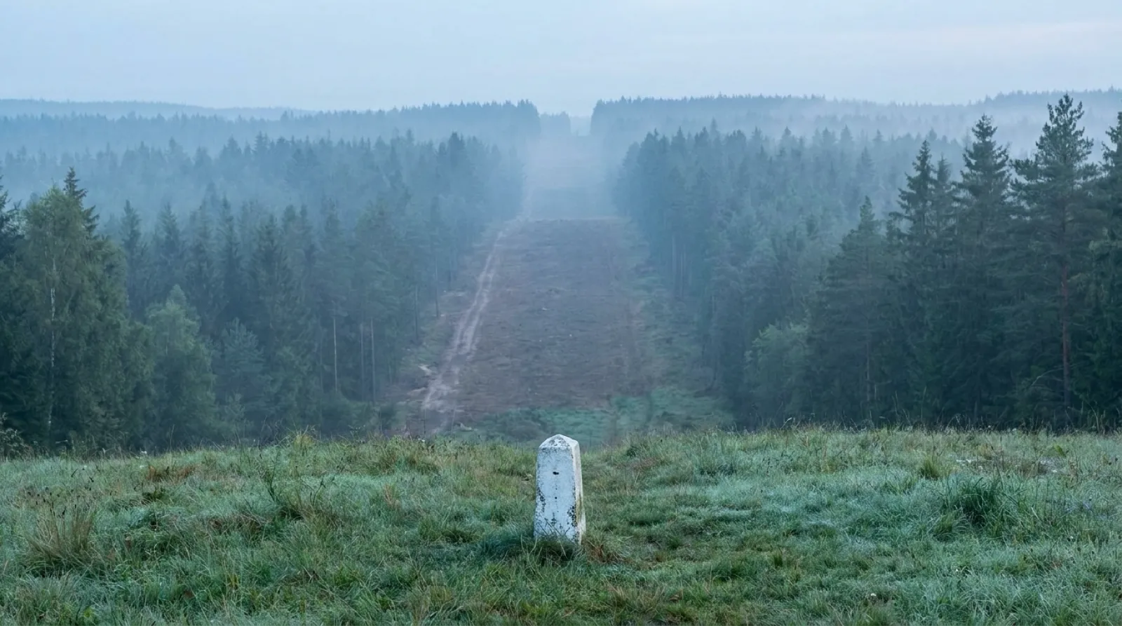
A border on a map looks as if it had always been there, like a mountain range or a river, but it is the product of three kinds of human work. A treaty first defines the line in words (delimitation), a survey party then translates those words into coordinates and monuments on the ground (demarcation), and after that someone has to keep maintaining the monuments and the line. How large that last job is can be seen on one of the longest borders in the world, between Canada and the United States.
The International Boundary Commission, run jointly by the two countries under treaty, maintains “the 8,891 km (5,525 miles) boundary shown on 256 official boundary maps.” Of that, 5,061 km runs over land and 3,830 km over water. The Commission “inspects, maintains and re-establishes over 8,000 monuments and reference points, 1,000 survey control sites” and “keeps a 6 metre or 20 foot wide clear vista along the land boundary line.” Some 2,172 km of the boundary runs through forest that must be cleared to that six-metre width on a regular basis, and the Commission monitors all construction within three metres of the line. A body that describes itself as “maintaining a peaceful boundary for more than a century” shows that a border is not a line drawn once but an installation serviced every year.
2. Straight Borders: The Price of a Ruler and a Pencil
The conspicuously straight borders on a world map usually follow a parallel of latitude or a meridian of longitude. Drawing a line by coordinates rather than terrain is convenient for surveyors and negotiators, but it is drawn without regard to where people actually live. In their 2006 National Bureau of Economic Research working paper “Artificial States,” economists Alberto Alesina, William Easterly, and Janina Matuszeski write that “Eighty per cent of African borders follow latitudinal and longitudinal lines,” and note that many scholars believe such artificial borders, “which create ethnically fragmented countries or, conversely, separate into bordering countries the same people,” lie at the root of Africa’s economic troubles.
The paper proposes two measures of how artificial a state is. One is based on “how borders split ethnic groups into two separate adjacent countries”; the other measures “how straight land borders are, under the assumption the straight land borders are more likely to be artificial.” The authors report that both measures are highly correlated with several measures of political and economic success. That is a correlation, not proof that a straight line by itself causes every problem. What is certain is that straight borders were born in conference rooms, not in geography.
3. If the River Moves, Does the Border Move? A Century on the Rio Grande
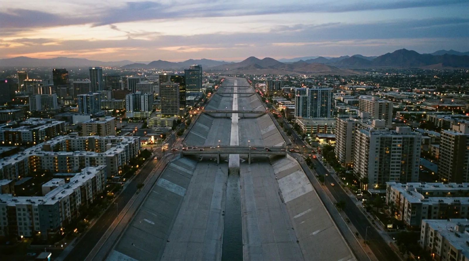
A river looks like an ideal boundary until you remember that rivers move. The Rio Grande between the United States and Mexico is the textbook case. According to the U.S. National Park Service’s Chamizal National Memorial, the Convention of 1884 reaffirmed the river’s deepest channel as the international boundary and set a rule: “If the river channel moved gradually over time, the boundary moved with it. If the river shifted suddenly, the boundary remained along the previous course.” The Chamizal tract between El Paso and Ciudad Juárez became the dispute over how to apply that rule; beginning in 1895 Mexico laid formal claim to it, and in 1911 the two countries took the case to arbitration.
The solution was to dig the river again, physically. The Park Service records that Presidents Kennedy and López Mateos developed a plan for “a new concrete-lined channel for the Rio Grande that would bisect Chamizal and Cordova,” with all land south of the channel going to Mexico and land to the north to the United States; after Kennedy’s death, President Johnson completed negotiations that produced the Chamizal Treaty of 1963, the final agreement was signed in 1967, and water was diverted into the new channel the following year. The binational International Boundary and Water Commission puts the outcome in numbers: it “relocated and concrete-lined 4.34 miles of the channel of the Rio Grande so as to transfer 437 acres to Mexico.” The 1970 Boundary Treaty then provided for maintaining the Rio Grande and the Colorado River as the international boundary with “procedures designed to avoid the loss or gain of territory by either country incident to future changes in the river.” The lesson: if you use a river as a border, you must also agree on what happens when the river moves.
4. Borders Inside Borders: Enclaves That Cut Through Houses
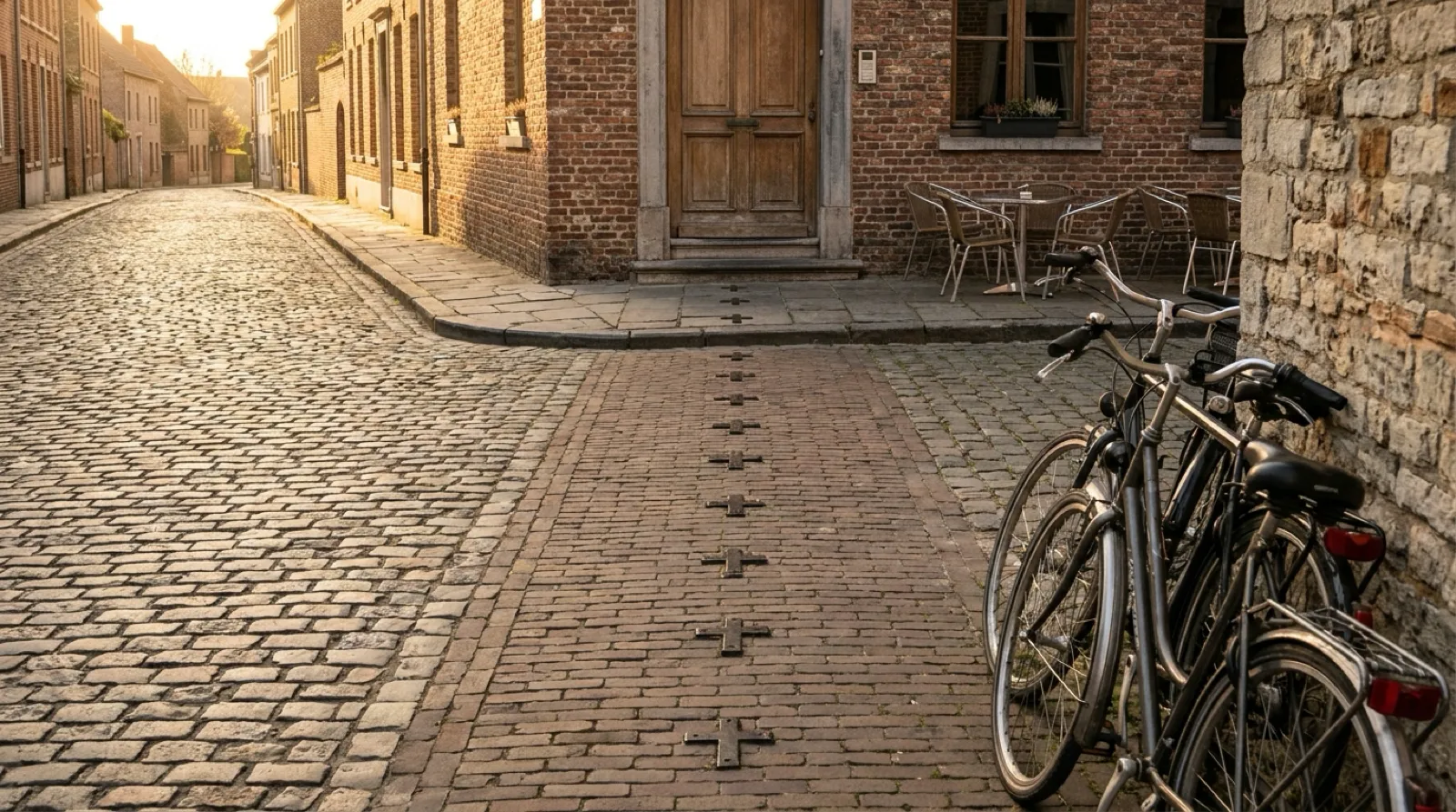
A border does not have to be one continuous line. Baarle-Hertog and Baarle-Nassau, on the border of Belgium and the Netherlands, are the extreme example. The Dutch regional tourism board VisitBrabant explains that the village contains “22 Belgian enclaves and 8 Dutch enclaves,” and that of the Dutch ones, “seven of those are sub or counter enclaves in Belgian enclaves.” Instead of following a single street, “the border runs criss-cross through roads, gardens and houses,” and “there is even a house with both a Dutch house number and a Belgian one.” Residents and visitors tell which country they are standing in by the flags next to the house numbers. The board calls the place the “World Capital of Enclaves,” home to nearly half of the world’s 64 enclaves.
Enclaves are not only a European inheritance. Along the India–Bangladesh border, 162 enclaves left over from the ownership arrangements of local princes centuries ago survived into the twenty-first century, their residents living for decades beyond the effective reach of either state. As Al Jazeera reported, citing AFP, the two countries signed a historic land-swap agreement in Dhaka on 6 June 2015 under which “111 enclaves will be transferred to Bangladesh and 51 to India,” and people living in the enclaves would be allowed to choose their nationality. Bangladesh had endorsed the deal as early as 1974, but India’s parliament gave its approval only a month before the signing. Tidying up a border took forty years.
5. A Strip, Not a Line: Korea’s Military Demarcation Line and the DMZ
Sometimes the boundary is not a line at all but a band with width. The National Atlas of Korea, published by the National Geographic Information Institute, explains that the peninsula is divided into South and North along the Military Demarcation Line (MDL), and that a Demilitarized Zone (DMZ) was established “2 km to the south and 2 km to the north of the Military Demarcation Line, a total of 4 km.” The DMZ is “a buffer zone in which armament is prohibited under the Korean Armistice Agreement concluded on 27 July 1953,” where the stationing of troops, deployment of weapons, and installation of military facilities are banned. Beyond the DMZ lies a further Civilian Control Line that legally restricts civilian access to areas adjacent to the MDL.
The important point is that this is not an international border in law but a military line created by an armistice. Because it was drawn by an agreement that halted fighting rather than a peace treaty that ended a war, its primary function is to keep two armies apart rather than to perform the ordinary functions of a border. The atlas adds that in the Panmunjom Declaration of 27 April 2018 the two Korean leaders agreed to turn the DMZ into a genuine peace zone. The line is commonly called the “155-mile armistice line,” but published lengths vary slightly between sources, so this article records only the width and character stated by the official atlas.
6. The Continent Nobody Divides: Article IV of the Antarctic Treaty
At the opposite end from how borders are drawn stands a place where states agreed not to draw them. According to the Secretariat of the Antarctic Treaty, the treaty was signed in Washington on 1 December 1959 and entered into force in 1961; its twelve original signatories were the countries whose scientists had been active in Antarctica during the International Geophysical Year of 1957–58, and the total number of Parties is now 58. Article I provides that “Antarctica shall be used for peaceful purposes only.” Article IV then freezes the territorial question: “No acts or activities taking place while the present Treaty is in force shall constitute a basis for asserting, supporting or denying a claim to territorial sovereignty in Antarctica or create any rights of sovereignty in Antarctica. No new claim, or enlargement of an existing claim to territorial sovereignty in Antarctica shall be asserted while the present Treaty is in force.”
The clause leaves untouched both the positions of the seven states that had already made claims (Argentina, Australia, Chile, France, New Zealand, Norway, and the United Kingdom) and the positions of states that recognize none of them; it simply stops the dispute in place. Instead of drawing a border, the treaty fixed the state of not drawing one. The wedge-shaped sector lines that appear on some maps of Antarctica are claims whose effect is suspended under the treaty, not borders.
7. Three Principles for Reading Borders on a Map
First, distinguish the kind of line. A border fixed by treaty and marked with monuments (Canada–US), a military line set by an armistice (Korea), and a suspended territorial claim (Antarctica) can look alike on a map but carry entirely different legal weight.
Second, read the rule behind the line. For a river border, whether there is a rule for when the river moves matters more than the line itself; for a straight border, which conference fixed it and by what coordinates matters more than its straightness. The Rio Grande’s 1884 rule and 1970 treaty show that without such rules a border can be unsettled by a single flood.
Third, remember that a border is a maintained installation. Like the commission that inspects 8,000 monuments and clears a six-metre vista, or the two parliaments that took forty years to settle 162 enclaves, a border is not a line drawn once but an agreement that survives only if it is kept up. The simpler a line looks on a map, the more documents, surveys, and negotiations stand behind it.
Sources
- International Boundary Commission (Canada–United States) — Boundary Facts (Accessed: 2026-09-07)
- International Boundary Commission — Maintaining a peaceful boundary for more than a century (Accessed: 2026-09-07)
- National Bureau of Economic Research (Alesina, Easterly & Matuszeski, 2006) — Artificial States (NBER Working Paper 12328) (Accessed: 2026-09-07)
- U.S. National Park Service, Chamizal National Memorial — Treaties (Accessed: 2026-09-07)
- U.S. National Park Service, Chamizal National Memorial — History & Culture (Accessed: 2026-09-07)
- International Boundary and Water Commission (IBWC) — Treaties (Accessed: 2026-09-07)
- VisitBrabant (regional tourism board, Netherlands) — Enclavedorp Baarle-Hertog-Nassau (Accessed: 2026-09-07)
- Al Jazeera (citing AFP) — India and Bangladesh seal land-swap deal (Accessed: 2026-09-07)
- National Geographic Information Institute, National Atlas of Korea — 휴전선과 DMZ (The Armistice Line and the DMZ) (Accessed: 2026-09-07)
- Secretariat of the Antarctic Treaty — The Antarctic Treaty (Accessed: 2026-09-07)